Idaho Fish Report
Middle Rogue River Report
by OR Department of Fish & Wildlife Staff
1-14-2021
Website
With the periodic bumps in rain, conditions as the Rogue should be as good as we’ve seen in January for a few years. The river was still rising on mid-day Wednesday and not expected to crest until late Wednesday night or early Thursday morning.
Plunking and side planners may look at Thursday afternoon and Friday as good days to try for some early running winter steelhead. The weekend should have the river in a pretty steady condition of around 2500 cfs with the best water clarity starting Saturday.
Prior to this last storm, no reports of winter fish had come in. The sweeping inside bends on Griffin Park, Matson Park, or Robertson Bridge would be good places to run a side planner and plug or Spin-n-Glo when the water is muddy and just starting to drop.
Upstream of Hog Creek, Wild steelhead retention is closed until Feb. 1. Downstream of Hog Creek, wild Steelhead may be retained as long as they are at least 24 inches in length. Only 1 per day, 3 per year zone wide in aggregate can be kept.
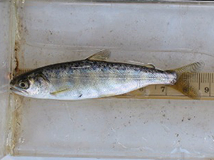
This weekend would be a good weekend to target half-pounders between Grave Creek and Robertson Bridge. They likely scattered with the high water, but should start fishing again. Only hatchery trout may be retained.
Locally-owned and operated tackle stores in Grants Pass have excellent gear and very fresh bait that is specific to the Rogue and to your particular technique. Go check them out and offer them support during this time.
It is illegal to snag and keep a snagged fish, whether it’s wild or hatchery! Report violations to Oregon State Police by calling *OSP.
As of Wednesday mid-day, the flow in Grants Pass was approximately 6,750 cfs and still rising, turbidity around 20 NTU, temperatures in the mid-40s.
For those interested in checking conditions before getting on the river, the City of Grants Pass Water Division’s website offers information on river conditions at Grants Pass as well as a link to a river camera. Anglers can check all the USGS gaging stations, which have the most current temperatures and river flows here.

